At Lumsden Associates, P.C., we leverage state-of-the-art drone technology to deliver cutting-edge survey solutions for projects of all sizes. Our photogrammetric and LiDAR drone surveys provide unparalleled accuracy and efficiency, helping clients achieve precise results faster than traditional methods. Whether you’re developing land, managing infrastructure, or monitoring environmental changes, our drone surveying services offer a smarter way to map and measure your site.
Drone surveys use Unmanned Aerial Vehicles (UAVs) equipped with advanced sensors to capture high-resolution aerial data. We specialize in two primary techniques:
Photogrammetric Surveys
LiDAR (Light Detection and Ranging) Surveys
These methods enable us to collect extensive data sets with incredible precision, transforming how surveys are conducted.
Our drone surveying services bring a host of advantages to your project:
Our drone technology is versatile, making it ideal for a wide range of applications, including:
Land Development
Infrastructure Management
Environmental Studies
Industrial Projects
Disaster Response and Recovery
Trust Lumsden Associates, P.C. to provide the precision and expertise you need. Whether it’s a residential development, a commercial project, or environmental analysis, our drone surveying services ensure you stay ahead of the curve.
Contact us today to discuss your project and see how our photogrammetric and LiDAR drone surveys can transform your approach.
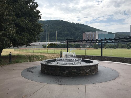
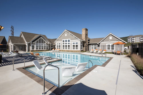
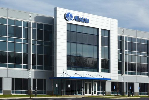
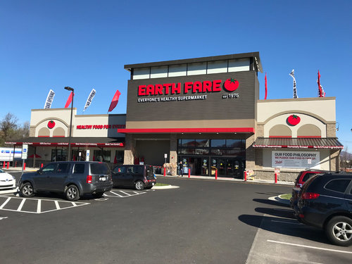
Take a look at how we've helped our clients.