Lumsden Associates, P.C. provides comprehensive topographic survey services to developers, engineers, architects, and property owners across Roanoke, Salem, and surrounding areas. Our detailed surveys capture the natural and man-made features of a site, offering critical data to guide planning, design, and construction projects.
With advanced technology and decades of experience, we deliver accurate, reliable topographic surveys that lay the groundwork for successful projects, large or small.
A topographic survey maps the physical features and elevation changes of a site, capturing critical details such as:
Topographic surveys are essential for understanding a site’s existing conditions and are commonly used for construction projects, land development, and infrastructure planning.
Lumsden Associates, P.C. offers a full range of topographic surveying solutions to support your project, including:
Topographic surveys provide essential data for a wide range of projects, including:
With decades of experience and a commitment to precision, Lumsden Associates delivers reliable topographic surveys tailored to meet your project’s needs.
Topographic surveys are a foundational element of successful projects. At Lumsden Associates, P.C., we ensure you have the precise data and insights needed to move forward with confidence, from initial planning to project completion.
Contact us today to learn how our topographic survey services can support your next project.
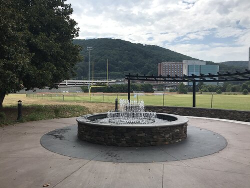
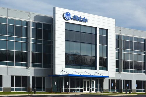
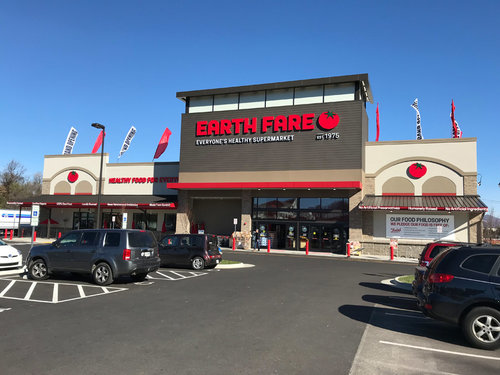
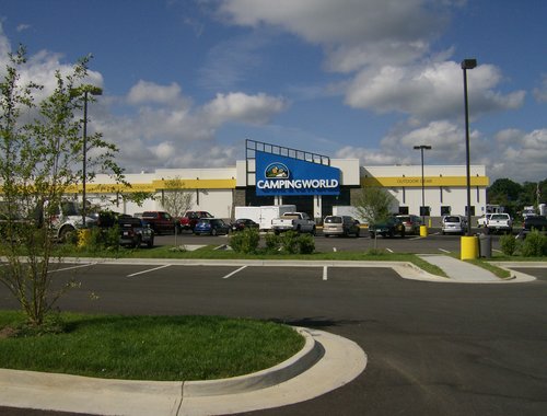
Take a look at how we've helped our clients.